Wait… They don’t love you like I love you.
The truth is: this is a little out of order.
You would think, setting an adventure story on a fictional planet, I’d start with the geography. I didn’t. The fact is the geography doesn’t matter that much for the broad swathes of a story. It does matter a lot for the details and internal consistency, so I did have to stop and nail this down.
I’ve done a lot of world building – not just for Flying Pirate Ships, but in general – over the years. Beasts, landmasses, plants, politics, and seas can play huge roles or just be bits of frosting. Maybe it’s my background in architecture or the front pages of The Lord of the Rings, but for some reason I’ve always been meticulous about geography.
Galydor is a fictional world I created for a series of D&D adventures (Lisa is technically set on Galydor). When I codified that world’s geography, I started with the tectonic plates. Where were the cracks? Which way are they moving? What kinds of subduction is happening with each? Answering those questions dictates a lot of geographical features and makes an internally consistent planet.
That was 25 years ago. Two things were very different with this new planet.
Minerva is not an Earth clone with different continents. It isn’t vast oceans broken by a few landmasses that bubbled out of a volcanic core after some giant billiard ball smacked it so hard the moon was ejected. It is a rock in space that happens to be in the right envelope to support life.
The first time Minerva is observed by humans, it is understood as a sphere. The whole landscape will be navigated by flying. People can observe the planet from orbit. Literally every human on the planet knows it as a globe first and a map second. So to, then, must I.
Making a globe map is actually kind of tricky. We all grew up learning the Mercator Projection of Terra. Believe it or not, that map in your elementary school classroom does not work. Most of the distances in the northern hemisphere are completely wrong. Africa is actually gigantic, and Greenland is small. Starting with a flat map, I have to adjust for all the things that are wrong with a flat map.
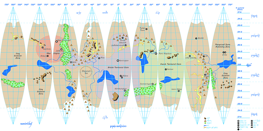
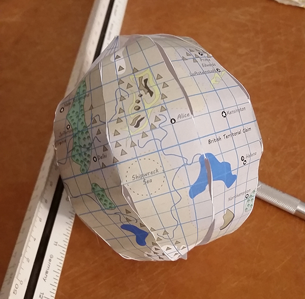
Fortunately, I have a device with access to the sum of all human knowledge, and I know a guy who makes paper models. Turns out you can download a paper pattern for a globe, and though that wasn’t sufficient, some simple understanding of geometry, a few thousand dollars worth of publishing and graphics software, and time gets you a globe model pattern:
